Dardanelle has always been the most happening place in Yell County. If you’ve read or seen True Grit, you’ll know a little about this particular locale.
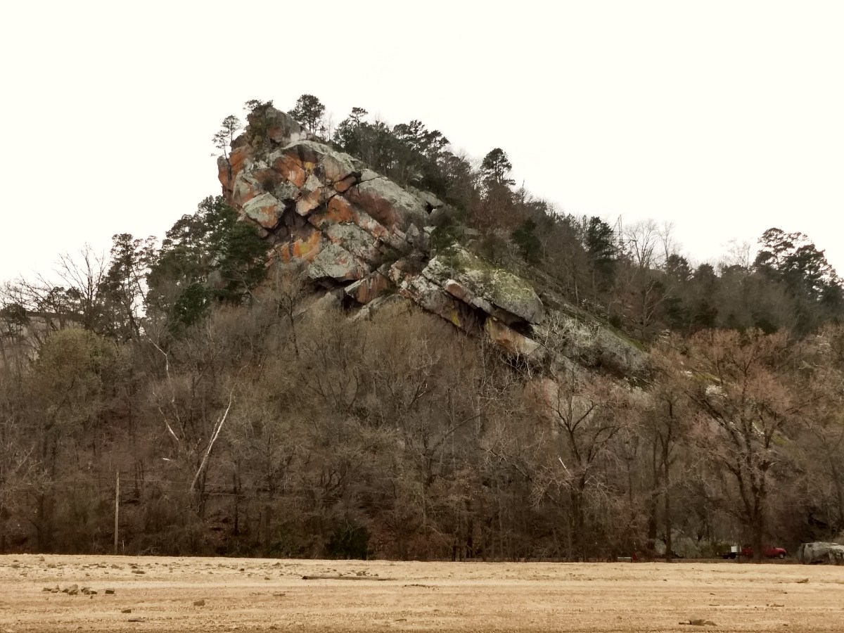
In days past, Dardanelle Rock was about as far up the river that steamboat traffic could travel. The rock outcropping gives some indication why; just below the water’s surface was a shoal that proved impassable except during higher river levels. Before statehood and before the railroads came, cargo was transported via military road to Fort Smith (K-0822), the outpost on the border with what is now Oklahoma.
Nowadays, Dardanelle Rock is a local hotspot for hikers, rock climbers, and a few POTA activators. The hike up is short but very steep. Expect some short scrambles and rock hopping as you make your way to the top. I’m glad that I had a backpack with my radio gear inside to make the trip easier.
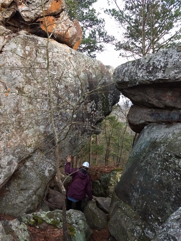
My wife and I enjoyed this particular trip together. The hike is steep but rewarding. 
The incline of the rock makes for interesting hiking.
Once on the end of Dardanelle Rock, there is a small, rocky clearing. This summit could give you vertigo as there is nothing between you and a few hundred foot fall if you venture to close to the edge. In fact, setting up an antenna could be risky business. I managed to get a 20m vertical in the air, but a larger antenna could be harder to accomplish. Maybe an EFHW would be a better choice as there are few things that are suitable for anchoring antenna masts.
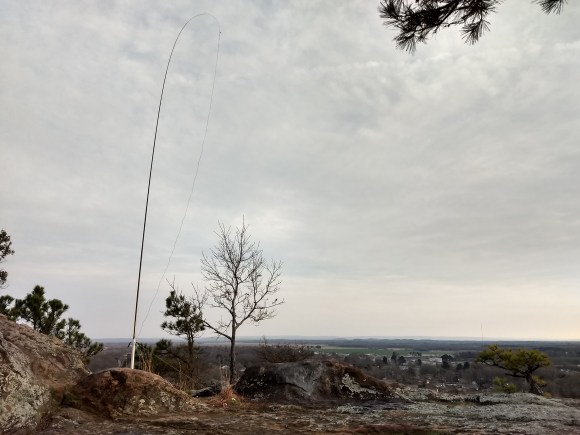
There was just enough soil collected in low spots to drive stakes into the top of the rock
This particular outing, I managed some ten contacts in about thirty minutes time: about average. However, a station from Costa Rica came booming in and surprised me!
Speaking of surprises when copying, I’ve acquired a bad habit when it comes to CW. When activating, I’m only listening for calls, reports, and QTHs. Most anything else goes in one side and out the other. And if your call doesn’t begin with A, K, N, W, or VE, I’ll probably ask for a repeat. I’m afraid that there are some ops that are wanting additional info from me and I’m not providing it. I could be missing out on Park to Park info as well.
In order to remedy this, I need to get on the air more at home. My on air activities as of late have all been POTA outings, of which there have been quite a few. There’s nothing wrong with that in and of itself but at this stage of my code copying progress, the weekly outing may not be enough.
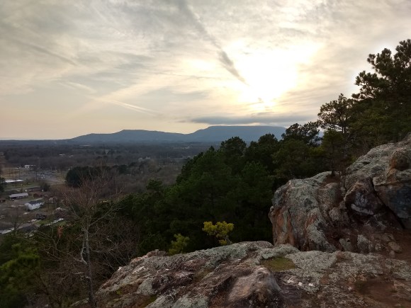
Mt. Nebo (W5A/MA-004) lies in the distance.
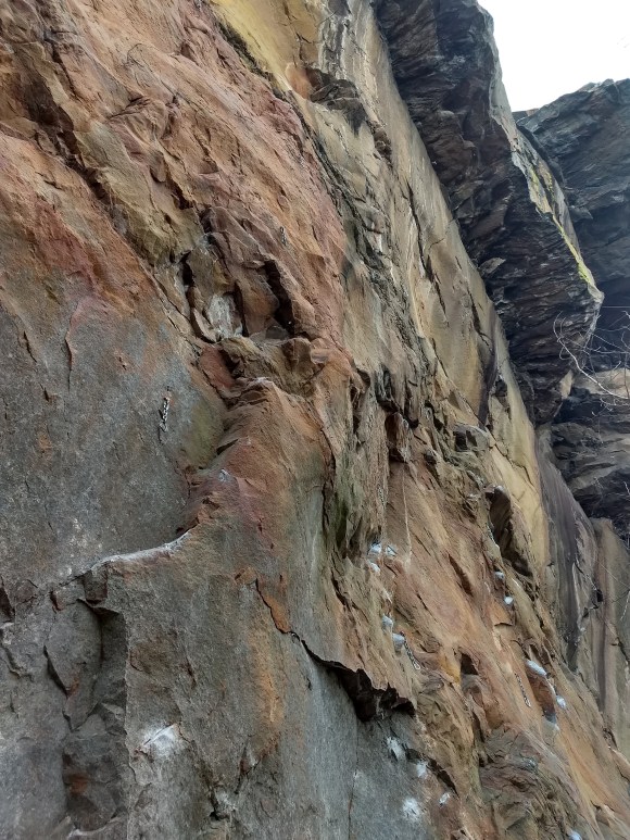
Made of sandstone, Dardanelle Rock is the local climber crag. Notice chalk marks and the permadraws bolted to the face.

A view to the east reveals the Arkansas River below and Mt. Petit Jean (W5A/MA-009) fifteen miles in the distance.

This lock and dam, #10 on the Arkansas, is the midpoint between the Mississippi River and Tulsa, OK, which is the furthest barge traffic can go. 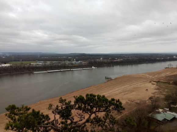
Number two in line for the lock.
