The allure of an unactivated 8 pointer is hard to resist for long. Luckily, I had a four-day weekend during the Thanksgiving holiday so I set my sights on a long dreamed of summit.
Potato Hill Mountain is a one-hour drive from my house and I arrived at the end of the forest service road at 1 pm. Since my last trip down this road, the route had received some maintenance now that there is a logging operation at the end of it.
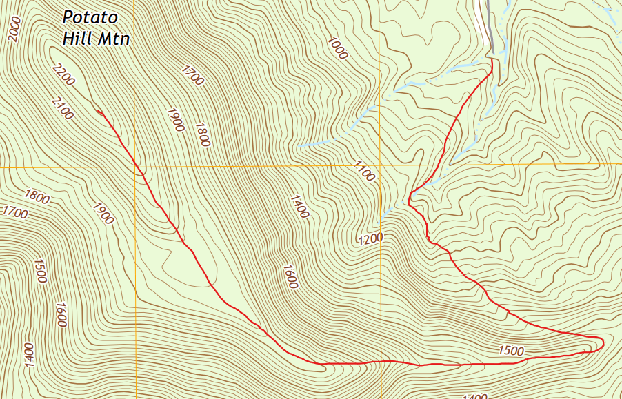
Blue Mountain Dam, AR Quadrangle. Property of USGS.
Having parked the truck and checked the pack, I headed southwest. The first part of the hike was easy going since I was going along a cleared mountainside. Soon enough, the logging plot ended and the old growth forest began. The hike quickly turned into an uphill scramble along a hollow. To the south, the terrain started to flatten into a bench, so I crossed the dry creek bed and continued to hug the side of the mountain.
Eventually I came to the ridgeline at the south of the mountain and I turned west again to keep climbing up the side. Navigation was easy here. If I walked a few yards to either side, I’d be going back down the mountain. According to the map, this was the easiest side to climb but the terrain was still difficult.

Soon I came to a point where I knew where I was but didn’t have any real way of knowing how well I would be staying on course moving forward. The terrain flattened off into another bench, a wide and long one according to the map. If I walked forward, I would go below the canopy and wouldn’t be able to see the summit anymore.
After my first bushwhacking excursion ended in a failure to activate, I decided to make my next gear upgrade involve a compass. That compass, along with a healthy dose of research into how to use it, paid off on this trip. Upon consulting the map, I set my compass for 320 degrees and picked out a tree to walk to. In less than a minute, I reached the tree. Repeating this process a couple dozen times proved to me that I did my first real deal orienting properly; the mountain began to rise in front of me at a neat point once again, continuing the ridge.
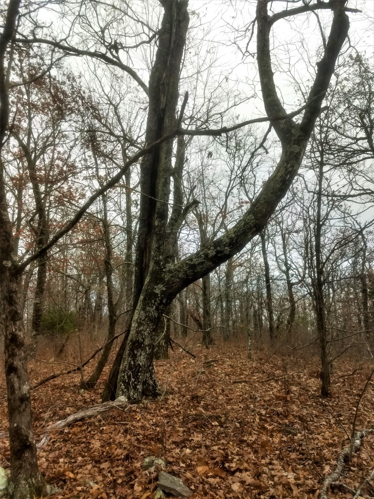
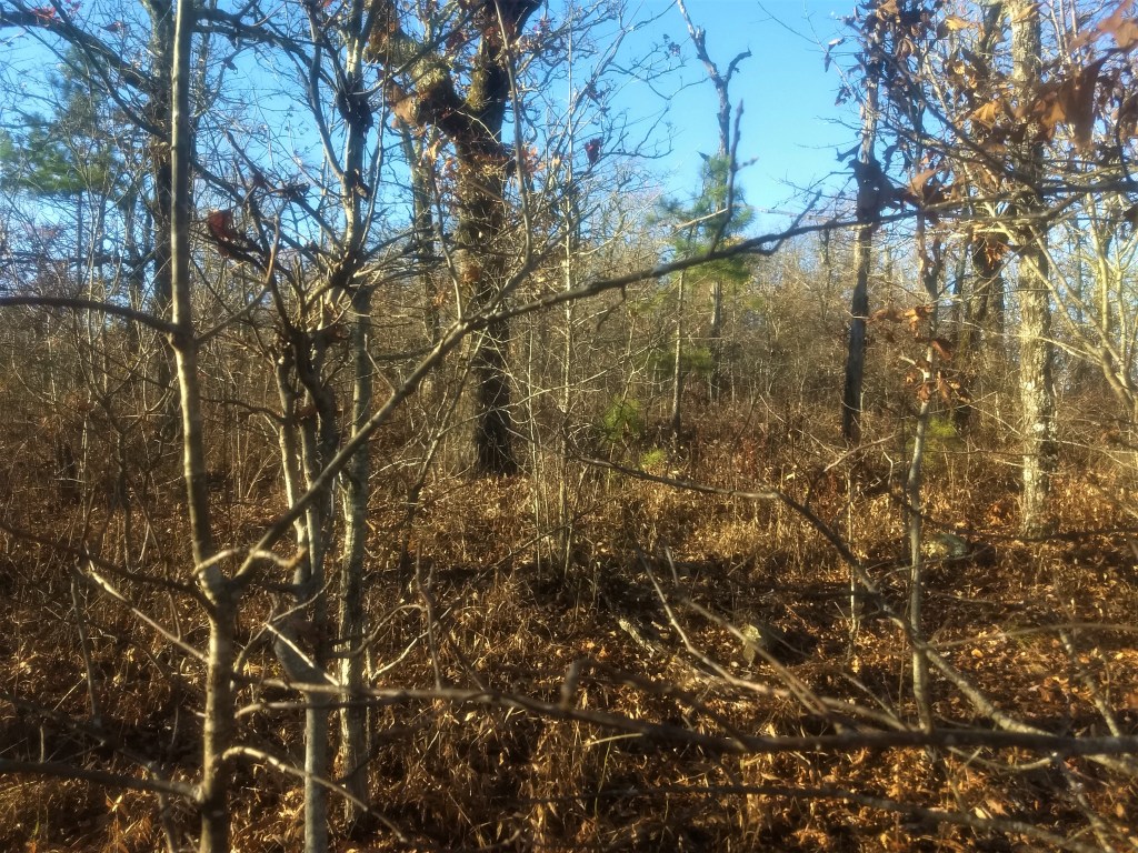
The higher I climbed, the scrubbier the mountain vegetation became. The trees became shorter and broken by ice and wind. Briars and bushes took advantage of the breaks in the canopy. Eventually, the terrain leveled out again and I knew that I was well within the activation zone. The true summit, some 20 feet higher than my present location was completely covered in briars so I settled for something rocky and tree covered.
I got to tell you, finding a place for a 40m dipole on top of these Ouachita summits is difficult. Either the tree isn’t high enough, or there isn’t a clearing below the high branch, or there isn’t a clear line for the wire to go once you’ve hoisted the feedpoint. The spot that I found wasn’t ideal but I managed to get the antenna in the air, albeit with a lot of wire wrangling and branch jostling.

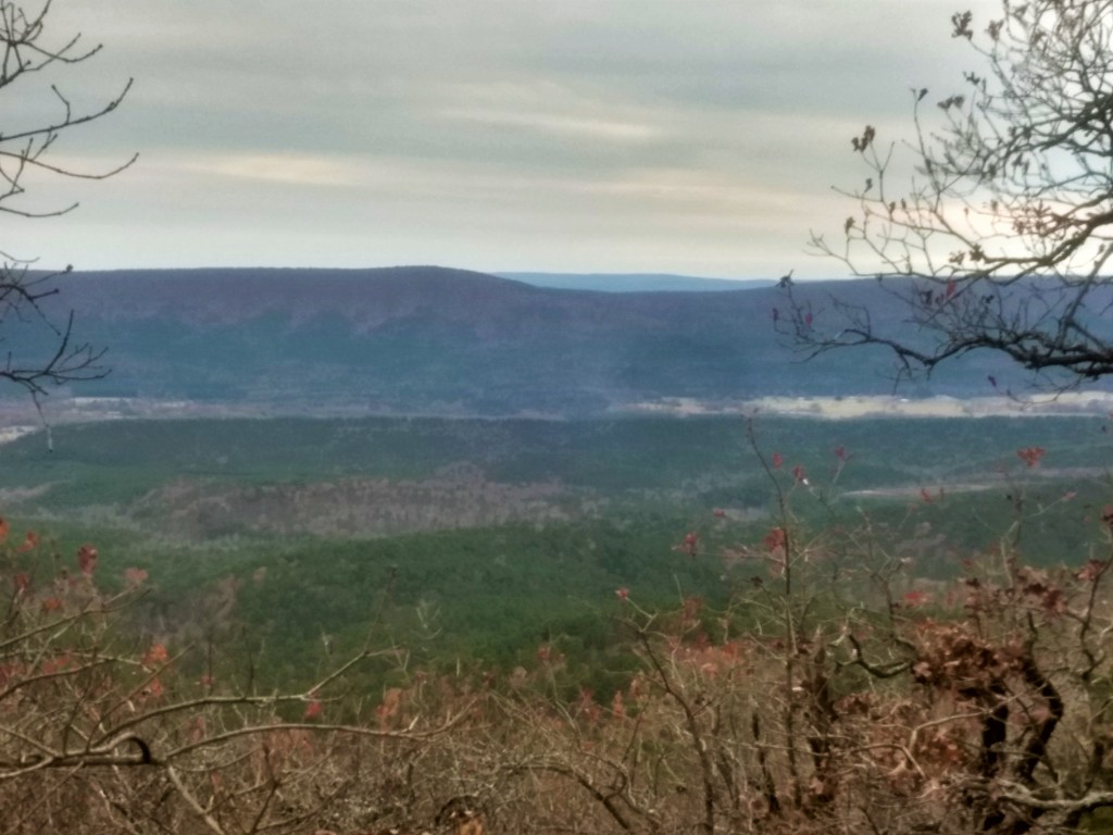
By this time, it was just after 4 pm. The sun was setting fast so I decided to make camp instead of activate. By the time I found a place to stretch the hammock out, it was almost dark. The sunset against the cloudless sky was brilliant, cut only by the leafless trees.

As much as I like sitting around a fire, the windy and dry conditions prevented me from having one. After cooking and eating dinner by headlamp, I called my wife then turned in early as the winter wind whipped the mountain top. Although it had to be around freezing and the wind was blowing consistently, I slept warmly (along with my water filter, batteries, and compass) in my goose down sleeping bag.
The morning was bright and not too cold since the wind had died down. All I had to do was heat water for instant coffee then get on the air.
All the links were connected for 40m so I started off there. A quick check revealed a 2:1 SWR due to the less than ideal angle at the top, but there were no improvements to be had. Within 25 minutes, I had 11 contacts on 40.
Here the trouble began. Lowering the dipole down to undo the link for 40m was harder than anticipated. After some 30 minutes of wrestling with wires in branches, I managed to get the links undone and the antenna back in the air for 8 more contacts on 30m. Though I wanted to get on 20m, I thought it best not to press my luck and get down the mountain with plenty of daylight.
A good decision, indeed. The second lowering of the antenna proved fatal for my first ever link dipole. My homebrew design utilized masonry line as the physical connection between the links if one leg was disconnected. While strong, it is prone to tangling. In the process of getting it out of the tree completely, one of the 40m legs broke followed shortly by the 20m leg on the same side. The summits demand an antenna sacrifice from time to time.
Antenna removed and camp broken, I hiked back down the mountain. Getting down was easier hiking, save the scrub. On multiple occasions, I was able to spot my truck. I chose my parking spot well!

When I came to the place where I had first met the ridgeline, I decided to keep going east in order to take better advantage of the gradual decline of the land. Another good decision. It is easier to ascend with a loaded pack than descend.
Twenty-six hours and nineteen contacts later, I arrived at the truck.